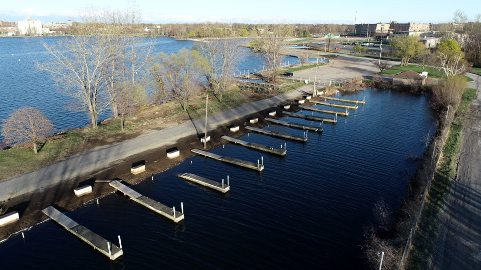
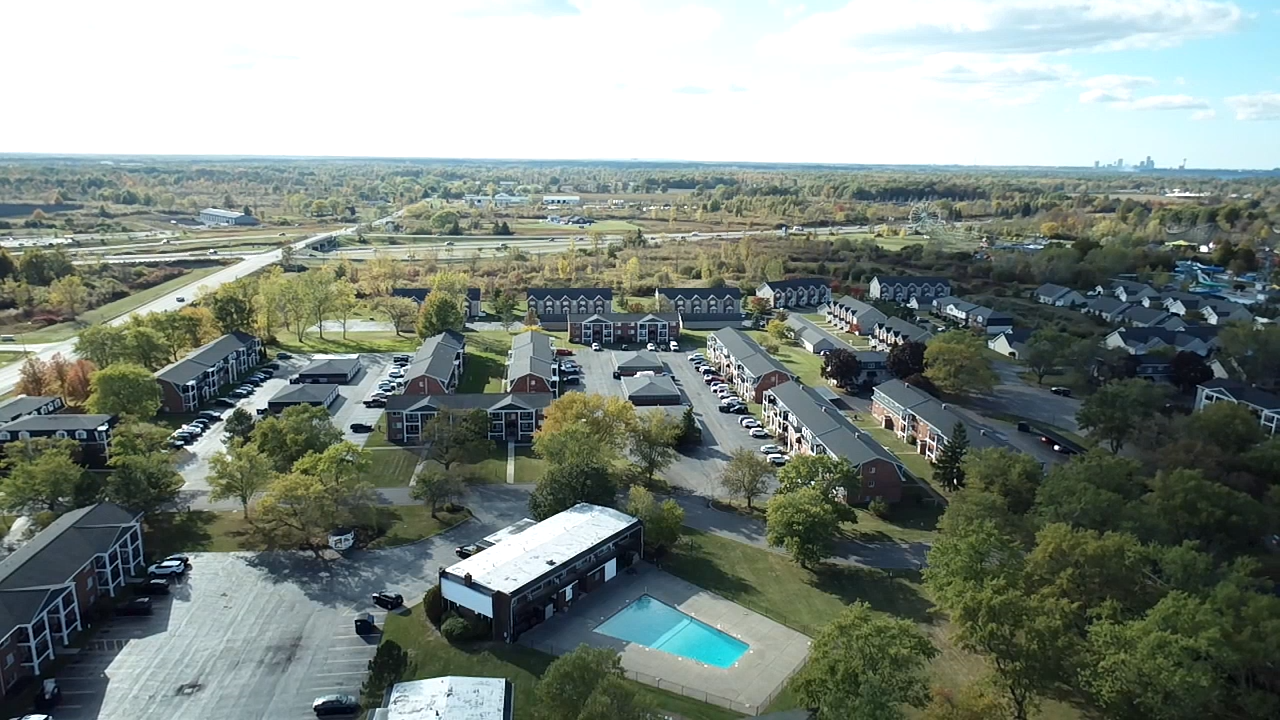
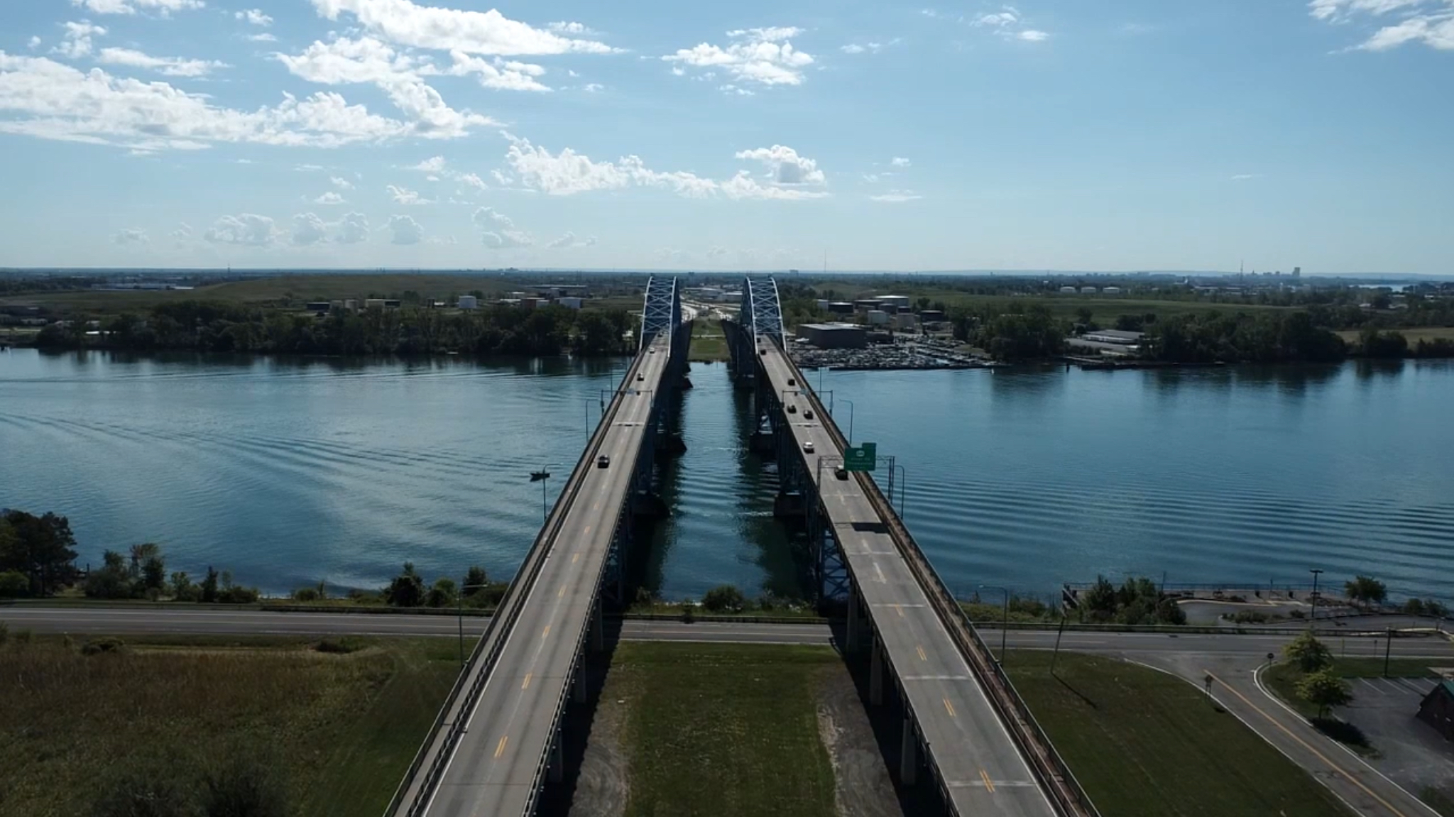
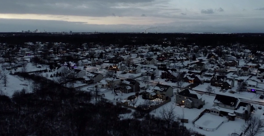
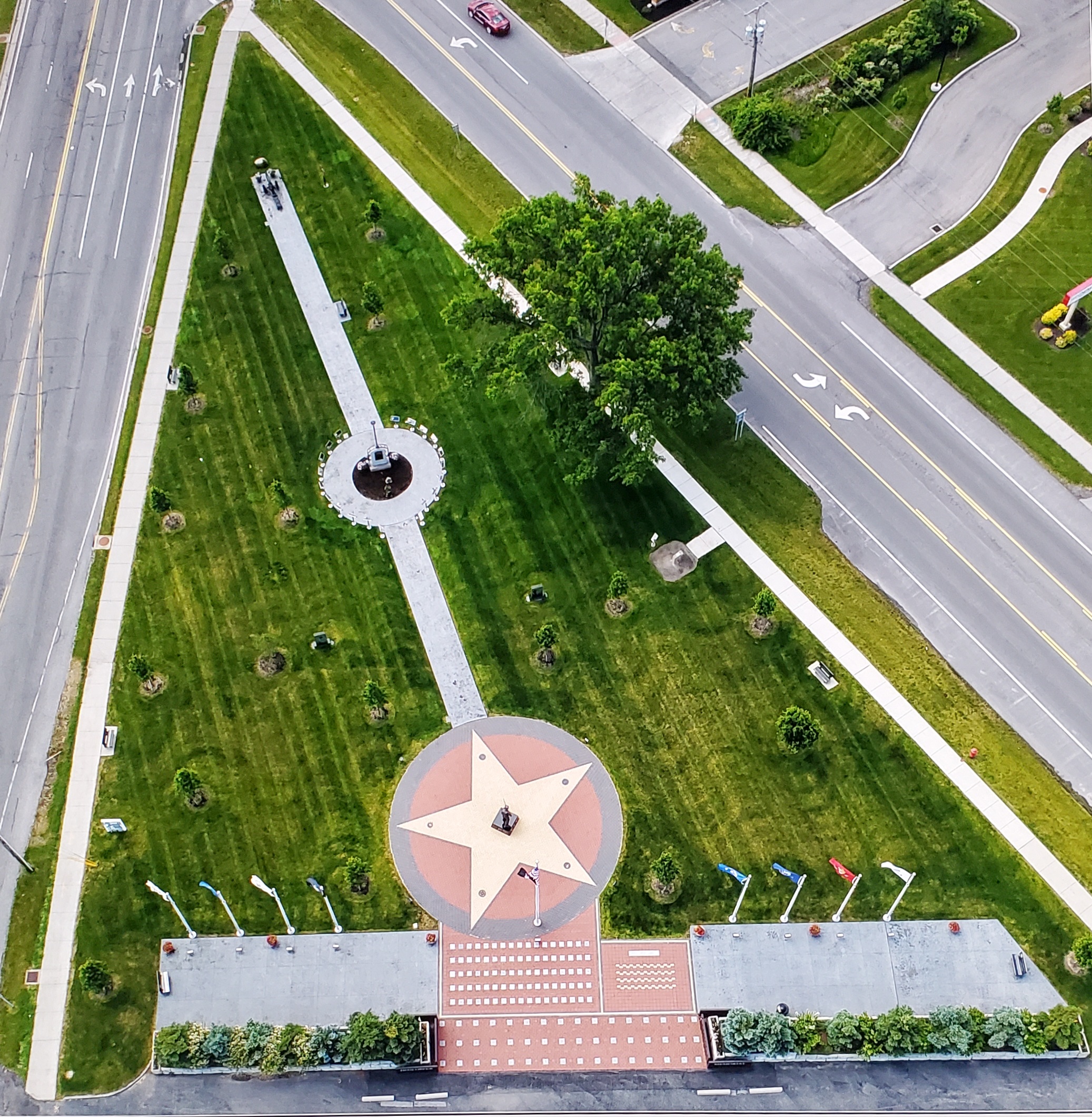
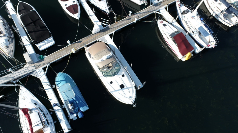
Aerial Insight, LLC provides FAA-compliant aerial photography and video services supporting Construction Progress Monitoring and Tracking, Real Estate Imaging, and Insurance Appraisal Documentation. Our focus is on delivering clear, reliable aerial imagery that supports decision-making and project execution.
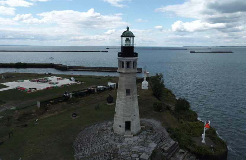
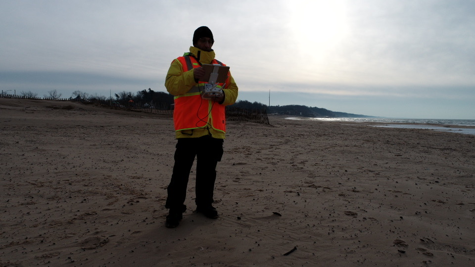
Based in Grand Island, NY, we serve local and regional clients with a safety-first, methodical approach to aerial work.
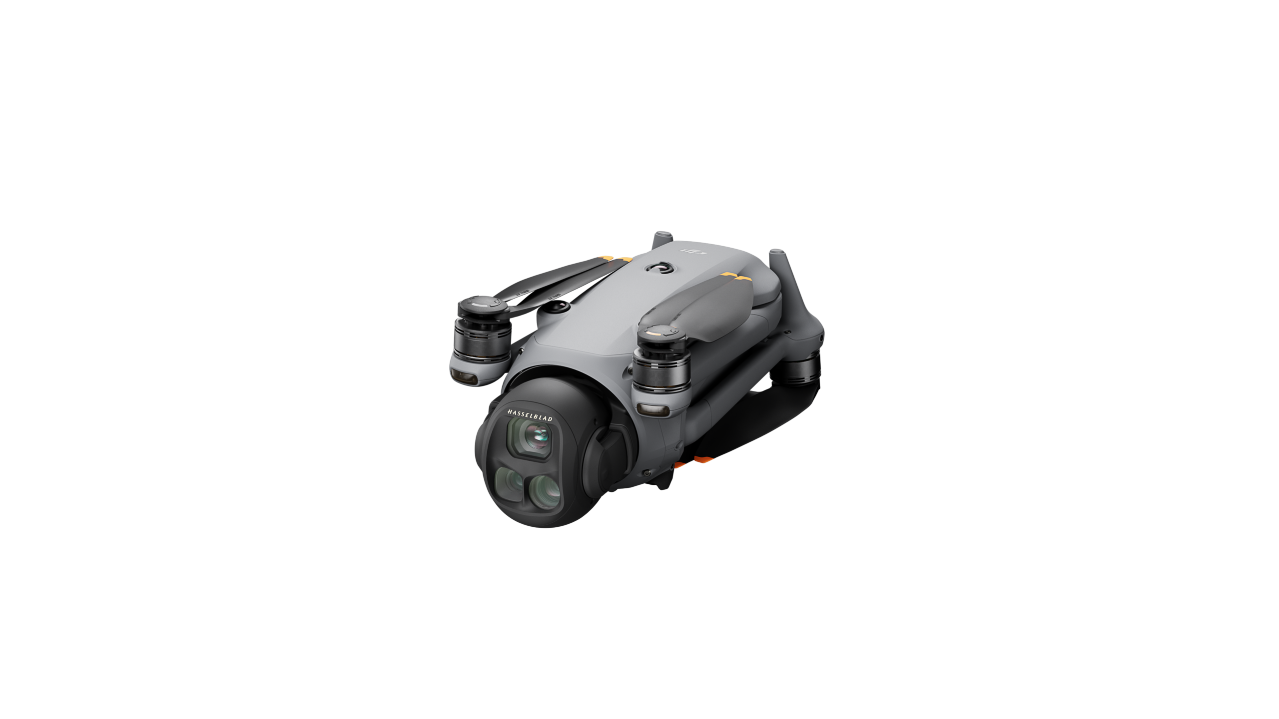
Projects are planned with airspace awareness and conducted using FAA Remote ID-compliant aircraft, ensuring transparent and responsible operations.
The company is led by an FAA-certified Remote Pilot with drone flight experience dating back to 2017
Operations are supported by OSHA-10 Certification, reflecting formal training in construction site safety, hazard recognition, and regulatory awareness.
We also hold a TWIC (Transportation Worker Identification Credential) and a Care Card, reflecting additional screening for work in regulated or access-controlled environments. Aerial Insight, LLC is fully insured through SkyWatch.ai
We believe aerial imagery should do more than decorate a listing or project – it should support it. Clear aerial perspective isn’t an add-on; it’s often the foundation that ties everything together. When accuracy matters, a little elevation goes a long way.