You always know what’s happening next. We keep you updated from planning to delivery and are easy to reach if you have questions.
Aerial Imagery That Supports Decisions – Not Just Marketing
Aerial Insight, LLC provides aerial photography and video services built around clarity, consistency, and compliance. Our work is designed to support projects where aerial perspectives is not an add-on, but a functional part of planning, documentation, and presentation. From property marketing to construction progress and exterior documentation, we deliver imagery clients can rely on throughout the lifecycle of a project.
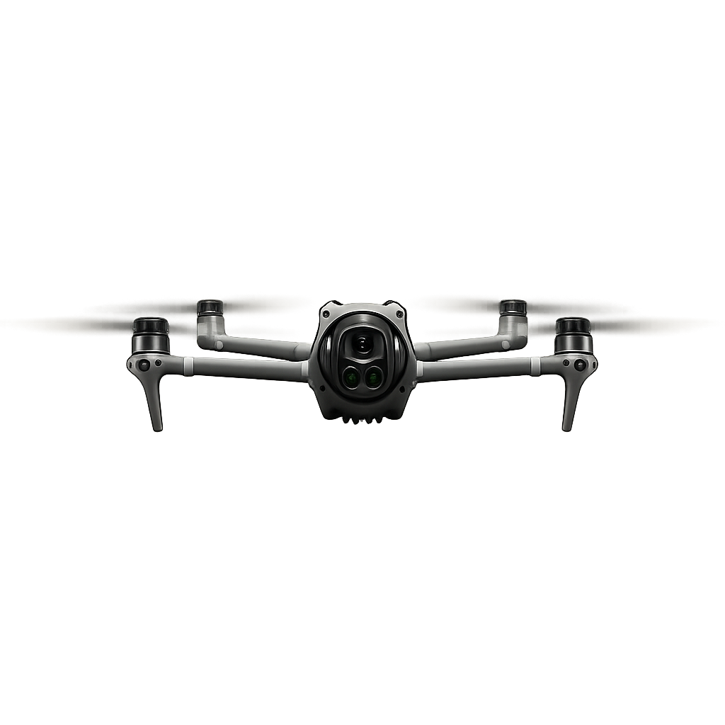
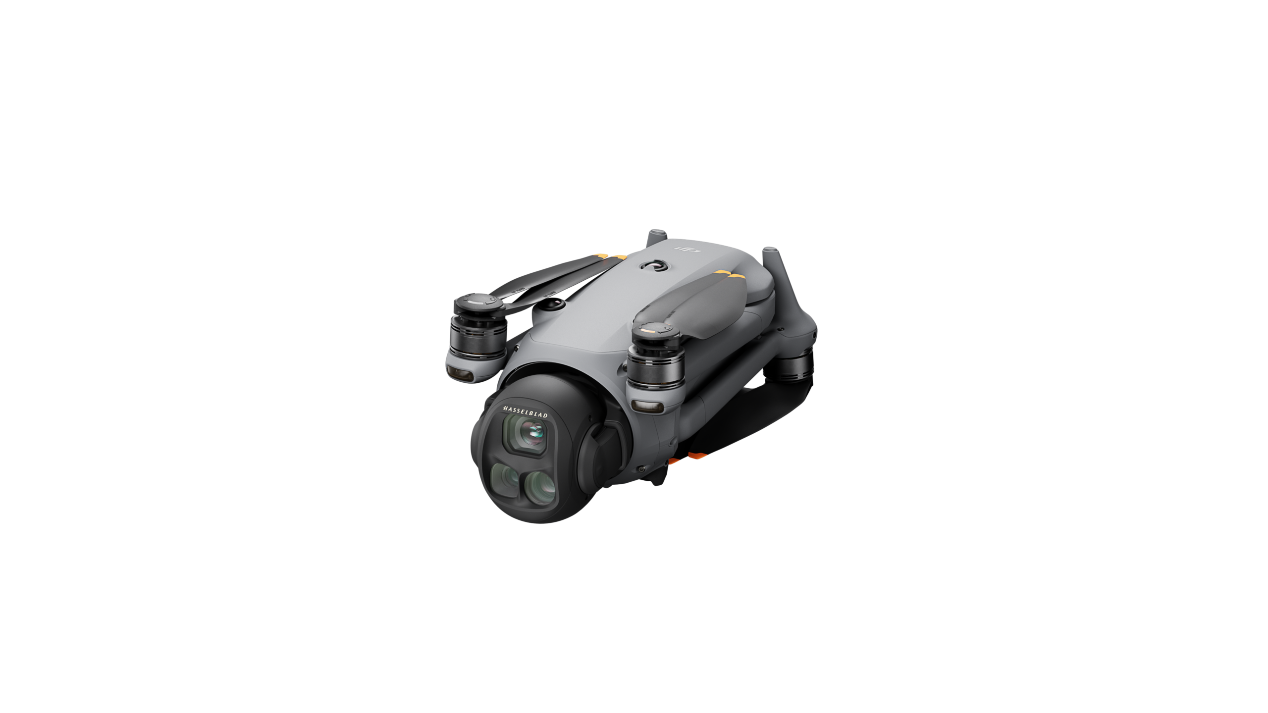
FEATURED TECHNOLOGY
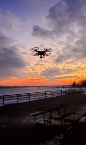
Professional Drone Technology for Clear, Accurate Results
Our equipment is built to deliver sharp aerial photos and smooth video for construction, real estate, insurance, and appraisal documentation.
Crystal-Clear 4K Footage
Our drone captures smooth 4K video at 30fps, giving you professional-quality aerial footage ideal for real estate listings, project documentation, and marketing.
Zero Motion Blur for Sharp Photos
A mechanical shutter reduces distortion and delivers crisp, accurate images — essential for monitoring, mapping, motion capture and high-detail shots.
High Dynamic Range Imaging
With a 1-inch camera sensor, we capture detailed photos with better light control — perfect for construction sites, properties, and assets that need accurate visual data.
Fast Aerial Coverage When You Need It
Our drone is optimized for efficient flights that capture essential visuals without delays — ideal for reduction, inventory reporting and fast updates.
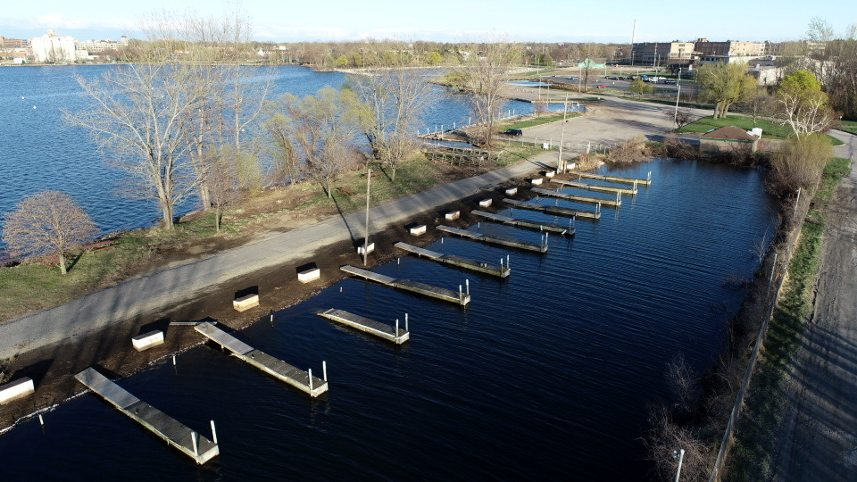
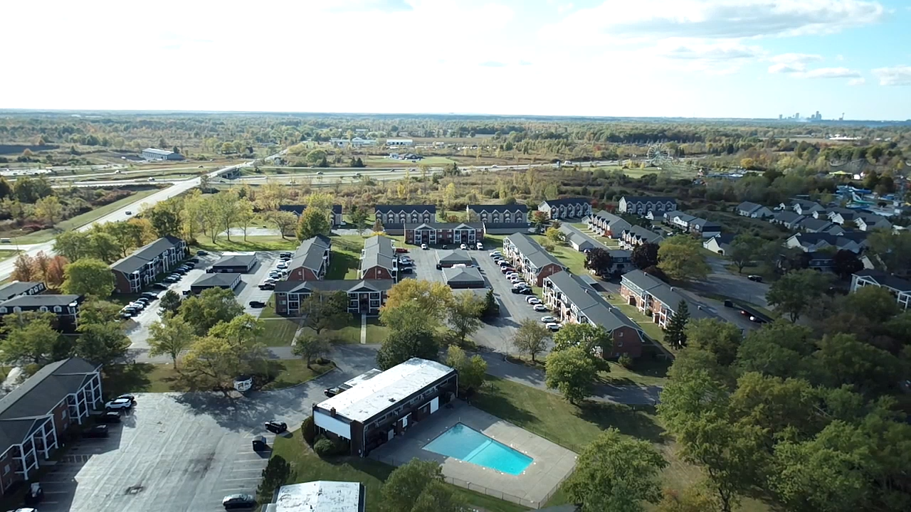
AERIAL PROJECT
Featured Drone Service Examples
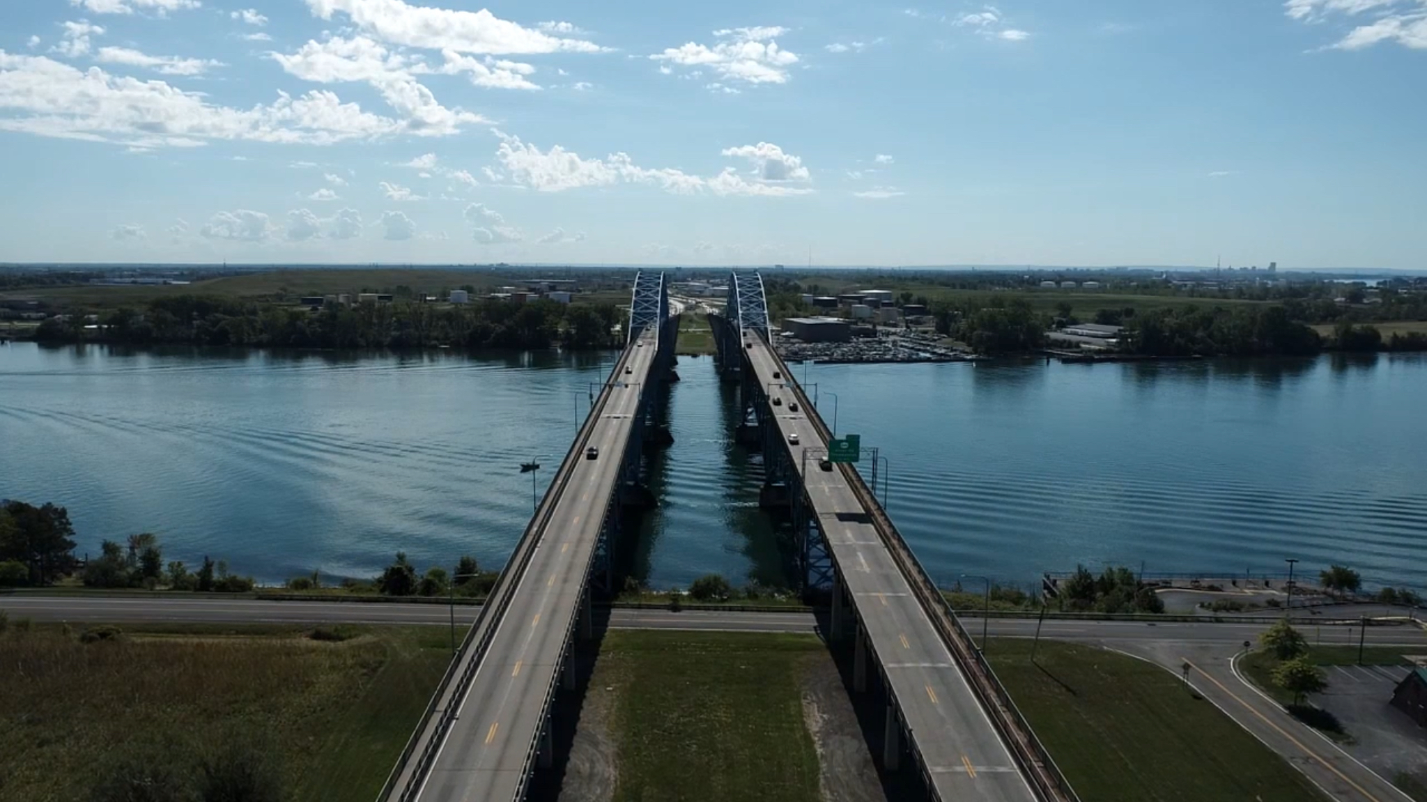
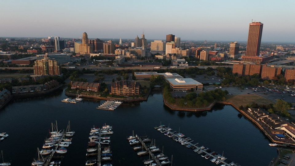
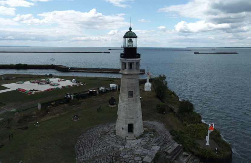
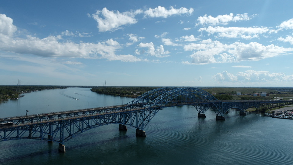
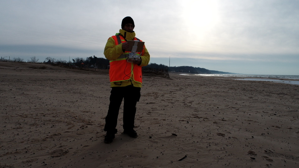
These featured clips and images are not contracted client projects but serve as visual demonstrations of the aerial services we provide. From construction site progress tracking to real estate flyovers, these examples reflect the kind of clarity, coverage, and perspective clients can expect when working with Aerial Insight, LLC.
We showcase various types of drone visuals—wide-angle property overviews, infrastructure scans, and location-based footage—designed to help clients envision how our services can be used for:
Construction monitoring & tracking
Real estate imaging
Insurance & appraisal documentation
Whether you need cinematic video or inspection-grade imagery, these examples offer a preview of our drone capabilities.
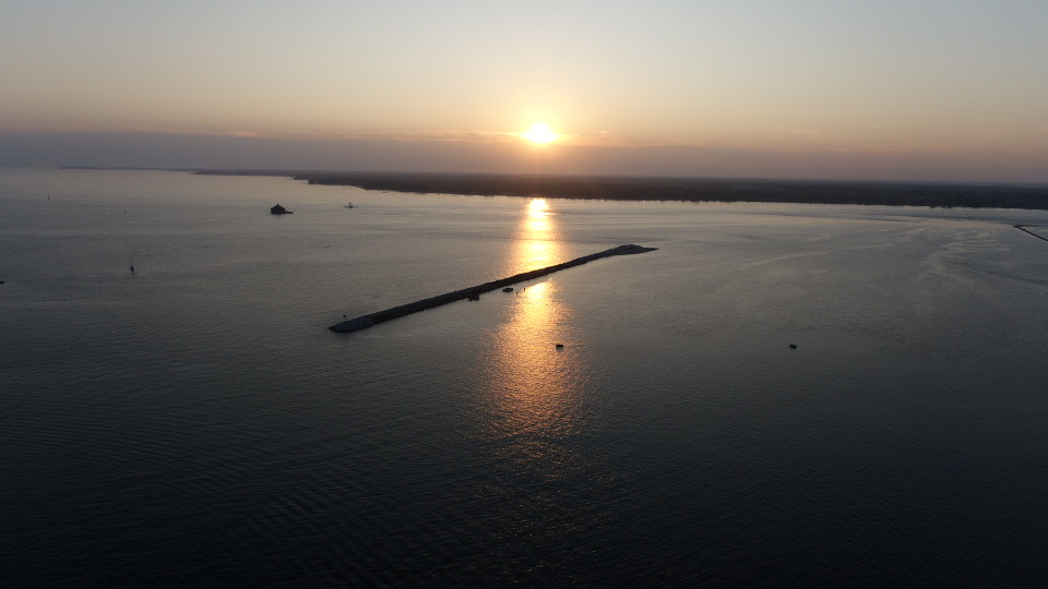
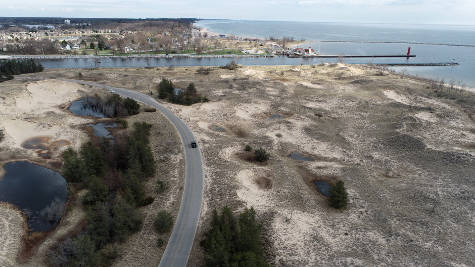
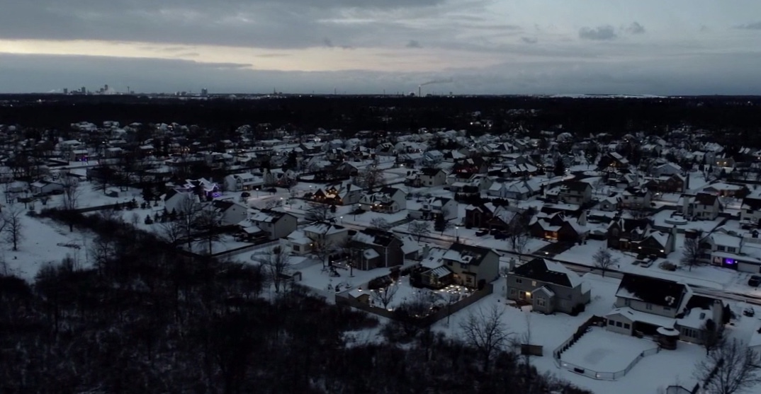
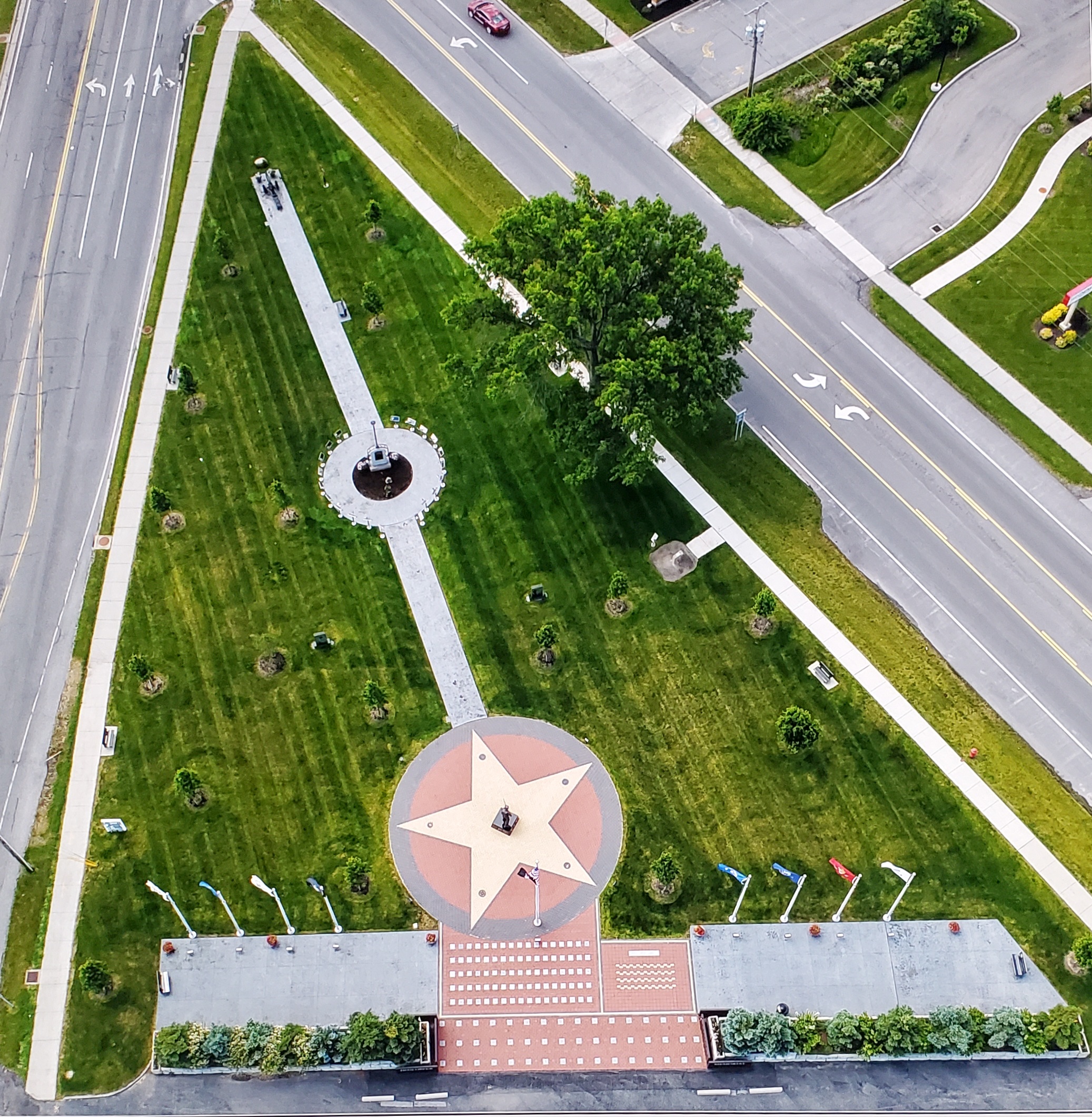
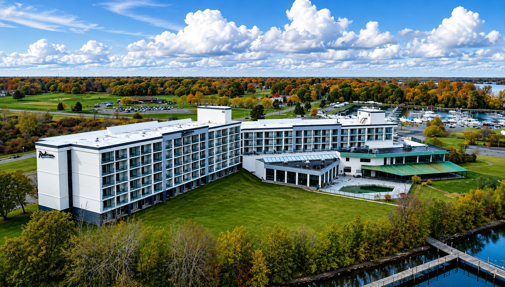
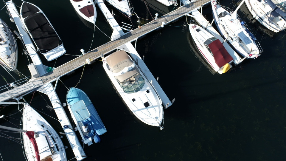
Our Gallery
Aerial Views That Tell the Full Story
Our drone gallery features example footage captured across construction, real estate, and property inspections. Each aerial image shows details, scale, and perspective that ground-level photos can miss. Clear, sharp visuals help you present and track progress, showcase properties, and document sites with confidence.
LET'S FLY
Ready to Start Your Aerial Project? Let’s Work Together.
Get high-quality drone photography and videography for real estate, construction, and insurance documentation. Share your project details with us — we’ll capture the visuals you need with clarity and precision.